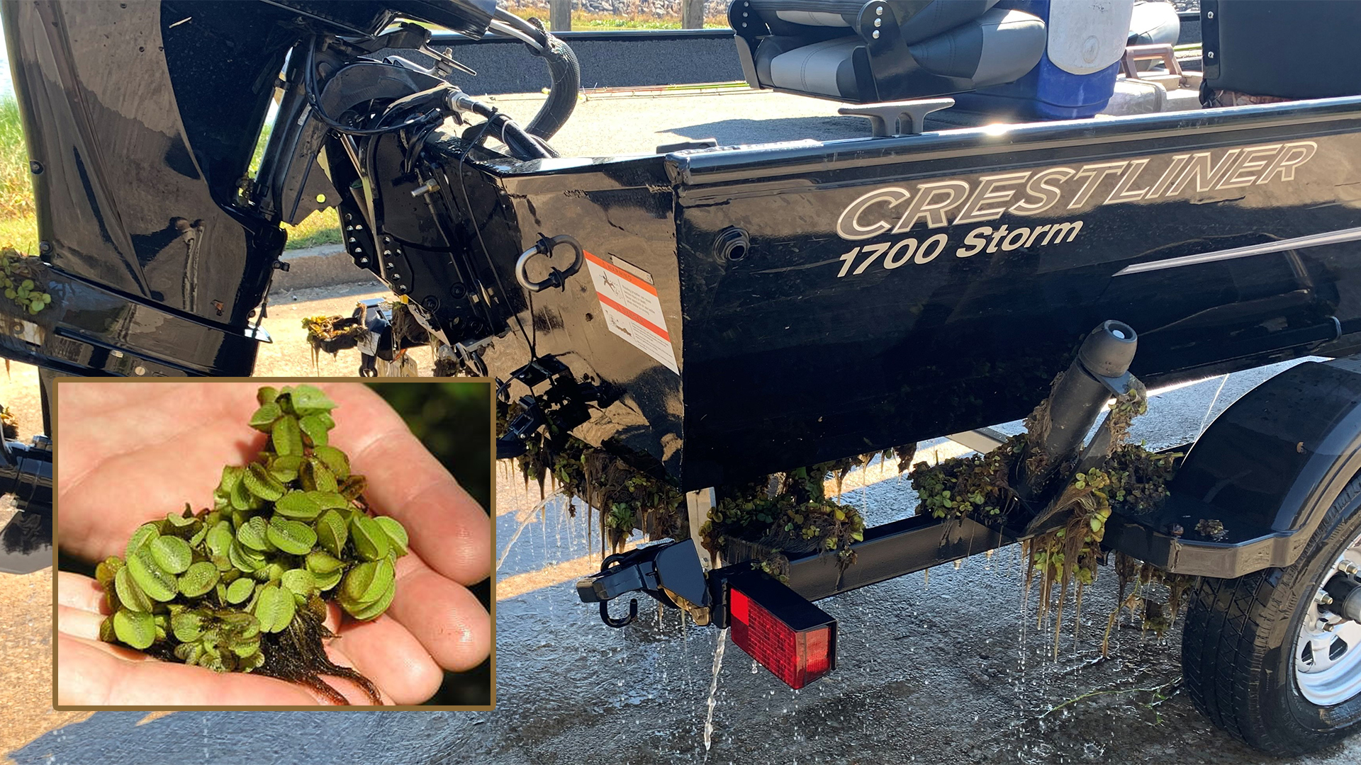
Clean your boat trailers! Giant Salvinia is a highly invasive floating aquatic plant that is present in this lake. Please remove all vegetation from your boat trailer before leaving the launch areas.
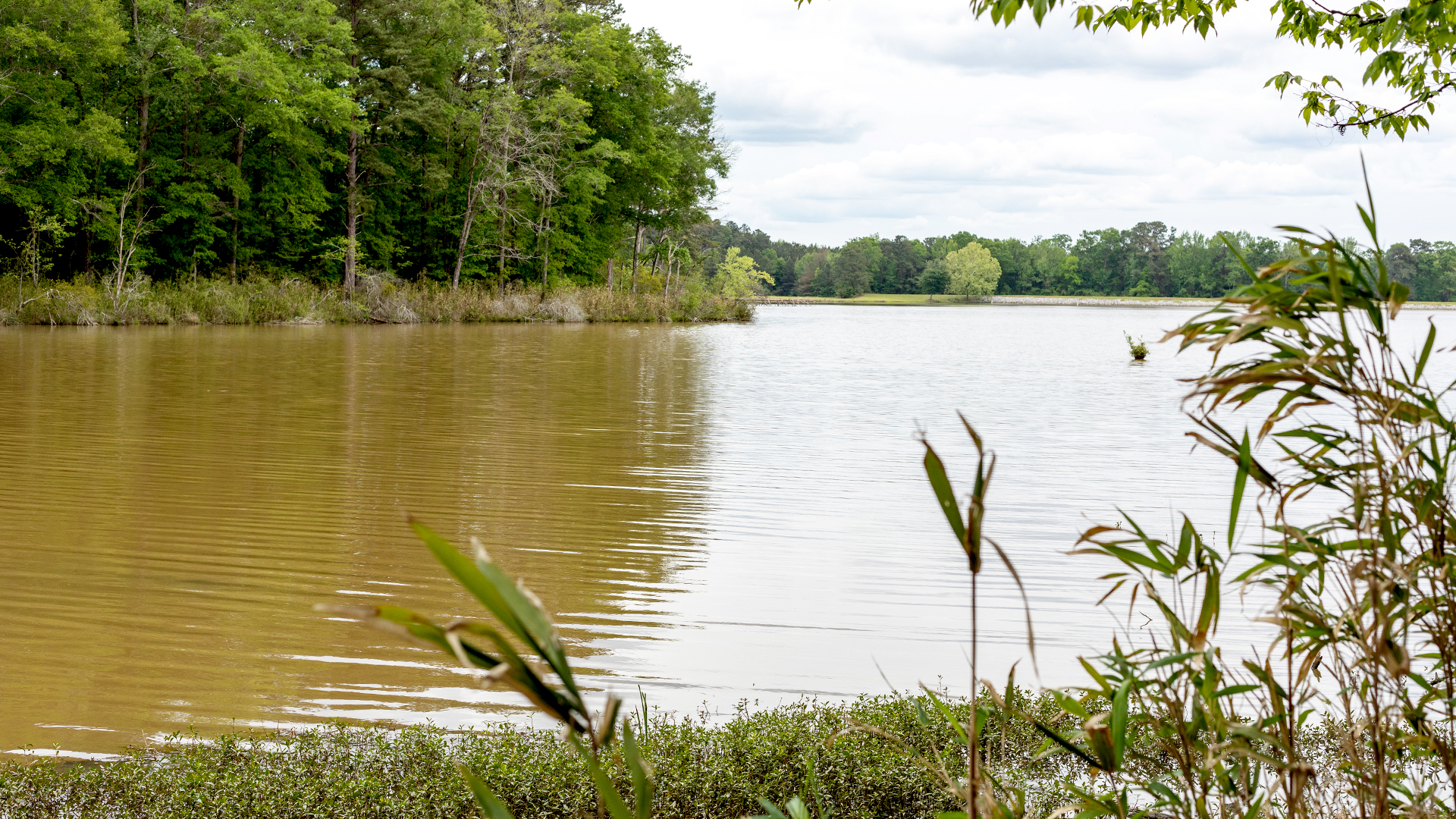
Lake Tom Bailey is a 182-acre lake 8 miles east of Meridian on Hwy 11 in Lauderdale County. The lake was originally built and opened to the public in the early 1960’s, closed in 2000 for repairs, and was reopened in 2005. This lake is recognized for its large bream and holds the state record for Channel Catfish at 51 pounds and 12 ounces.
Address: Lake Tom Bailey, 3222 Northshore Dr, Toomsuba, MS 39364
Phone: (601) 632-4679
Fees: Daily and Annual
| Bass | Bass fishing has been good with various colored artificial baits with anglers reporting good catches. |
| Crappie | Crappie fishing has been slows. Try minnows and jigs near channels and humps. |
| Bream | Bream fishing has been good. Try tightlining red worms or crickets from the bank. The oak tree near the front has been a hot spot. |
| Catfish | Catfish fishing has been fair with the go to bait being liver fished on the bottom from the bank and piers. |
Water temperature: 76°F
Water visibility (inches): 32
Clean your boat trailers!
Giant salvinia is a highly invasive aquatic plant that is present in Lake Tom Bailey. It is critical that anglers visiting the lake clean their boats and boat trailers to reduce the possibility of transferring this plant to other water bodies. Giant salvinia is extremely difficult to eradicate once it becomes established.
| Species | Lengths to Release | Daily Creel Limits |
|---|---|---|
| Catfish | No Length Limit | 10 per angler |
Statewide creel and size limits apply to all other fish species
Campgrounds are first come first served, please call the State Lake office for information.
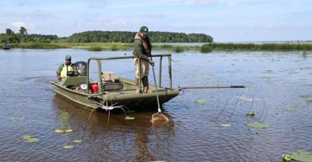
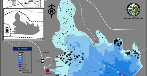
GPS Coordinates for brush piles that were added 1/12/16 are listed below.
N 32.42285 W 88.51477 N 32.42555 W 88.51812
N 32.42404 W 88.51488 N 32.42561 W 88.51801
N 32.42430 W 88.51518 N 32.42553 W 88.51788
N 32.42408 W 88.51507 N 32.42570 W 88.51792
N 32.42408 W 88.51528 N 32.42561 W 88.51780
N 32.42440 W 88.51548 N 32.42528 W 88.51798
N 32.42427 W 88.51527 N 32.42521 W 88.51812
N 32.42352 W 88.51484 N 32.42564 W 88.51766
N 32.42377 W 88.51519 N 32.42551 W 88.51769
N 32.42409 W 88.51606 N 32.42573 W 88.51742
N 32.42399 W 88.51614 N 32.42510 W 88.51762
N 32.42411 W 88.51629 N 32.42495 W 88.51744
N 32.42420 W 88.51608 N 32.42518 W 88.51726
N 32.42412 W 88.51650 N 32.42524 W 88.51730
N 32.42398 W 88.51634 N 32.42522 W 88.51714
N 32.42540 W 88.51815 N 32.42543 W 88.51722
N 32.42547 W 88.51802 N 32.42524 W 88.51759
Record fish must be weighed and verified by the lake manager, lake supervisor, or fisheries biologist. Anglers who catch a lake record fish will receive a certificate acknowledging their catch.
| Species | Weight | Angler | Date |
| Bass | 10.06 lbs. | Trey Tanner | August 2020 |
| Crappie | OPEN | ||
| Redear | OPEN | ||
| Bluegill | OPEN | ||
| Catfish | 51.75 lbs. (Current State Record Channel Catfish) | Tom Edwards | May 1997 |
Find and learn more about Lake Tom Bailey...